May 7, 2019
A team of University of Washington (UW) researchers led by eScience research scientist Nicoleta Cristea has received Lab Incubator Project funding from Earth Science Information Partners (ESIP). The project is titled “Developing workflows for assessing high-resolution CubeSat imagery to infer detailed snow-covered areas for studying changes in ecosystems and water supply.”
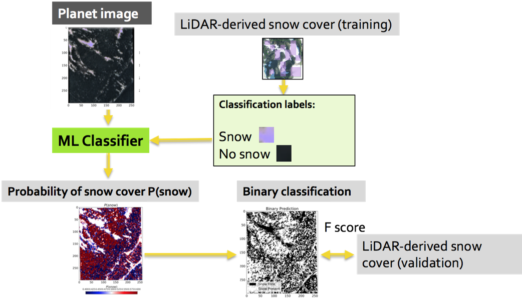
The funding will help support the team’s objectives to develop code and workflows to process Planet Labs, Inc. data imagery to infer snow-covered area, and develop tutorials and case studies for hackweeks and training events.
ESIP is a “non-profit, volunteer and community-driven organization that advances the use of Earth science data through meetings and virtual collaborations around topics such as data stewardship, information technology and interoperability, and application areas like disaster response, climate, energy and agriculture.”
Other members of the team include:
Amanda Tan, eScience Institute and UW IT Research Computing
Anthony Cannistra, UW Department of Biology, IGERT graduate student
For more information, please contact Nicoleta Cristea at cristn(@)uw.edu.