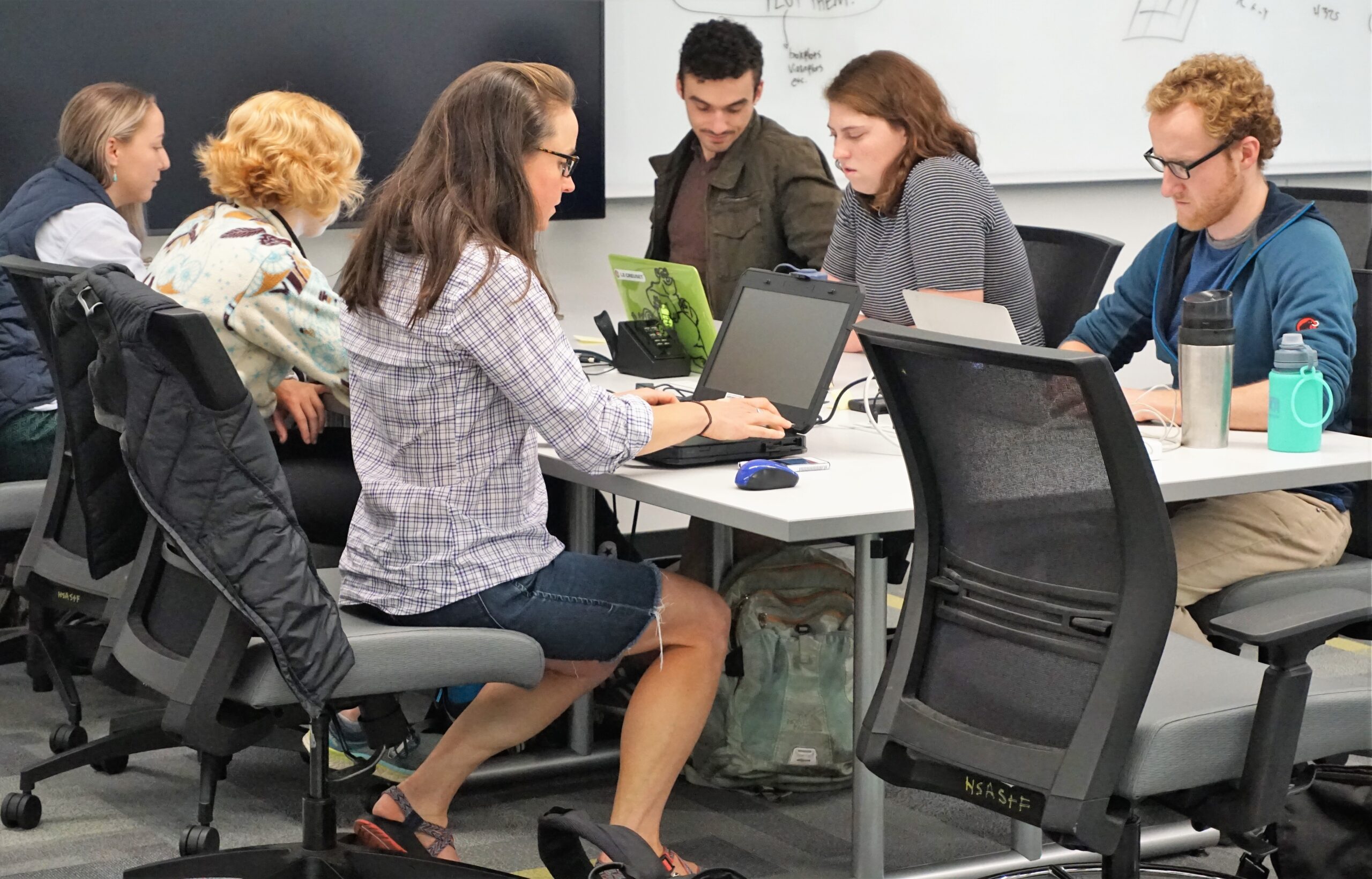
Dozens attended the 2018 Geohackweek, which aims to foster community building, peer learning and the exploration of new data science tools in a collaborative and welcoming learning environment. We asked participants to share their thoughts on this popular annual event, and received the following responses, lightly edited.
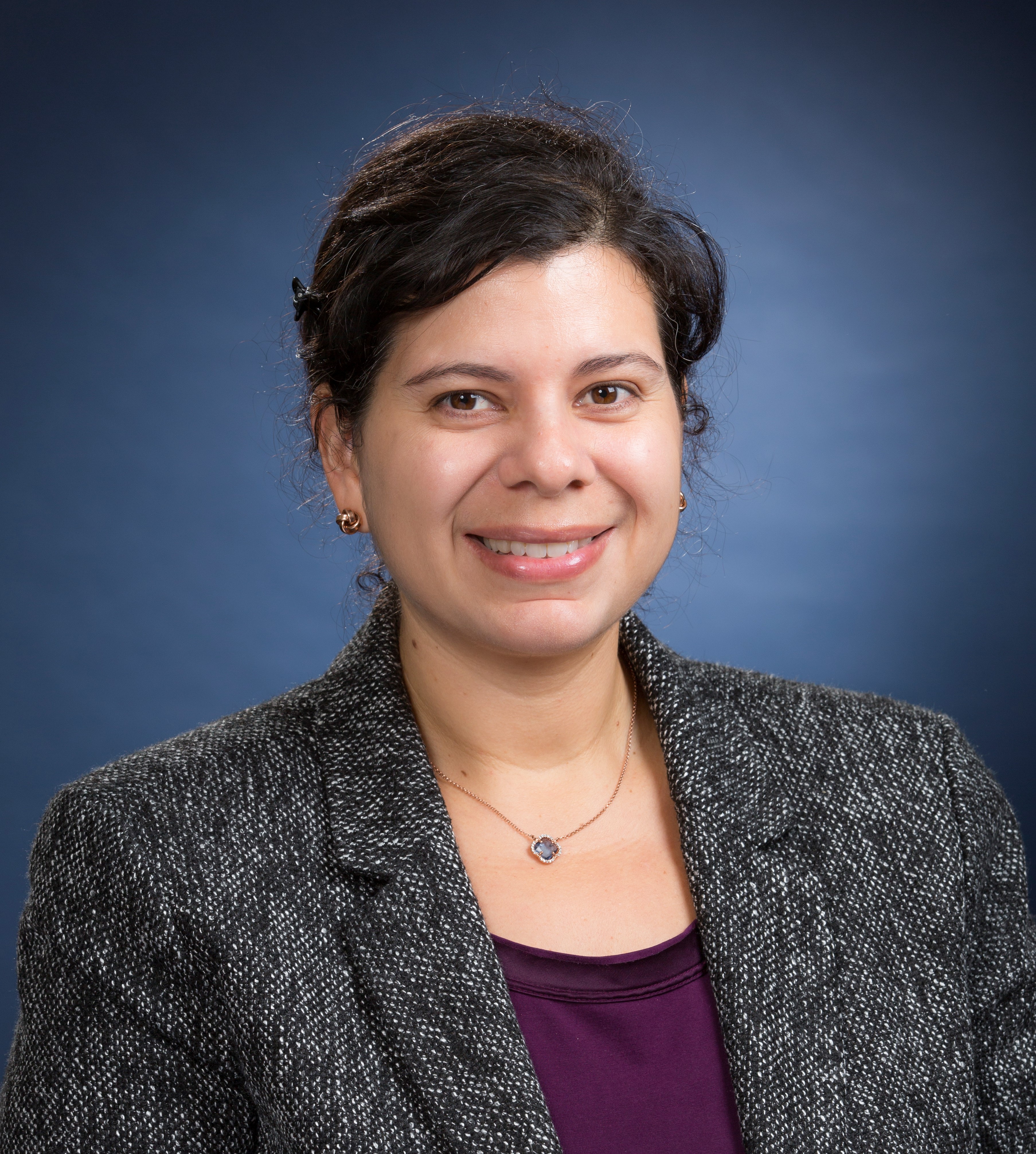
F. Patricia Medina
Overall, my experience in Geohackweek was extremely positive. It was apparent to me that both the organizers and instructors put a lot of effort not only into making the tutorials, but also giving a helping hand when any of the participants needed it. I greatly appreciated the opening message of inclusiveness and embracement of diversity.
I am a postdoc with a PhD in Mathematics, currently doing research in machine learning. Being able to interact with professionals with expertise in geospatial data and domain knowledge was paramount to my growth as a member of an interdisciplinary team.
In particular, exposure to new tools during the tutorial sessions (Git, GoogleEarth, gdal, geopandas, etc.) was of great help in this professional development opportunity. The use of such tools was encouraged through the projects. The keynote talk and the industry panel were great complements to an already excellent week.
Also, the culture of contributing to open-source resources was stressed during the week. I personally always avoided the use of version control with my collaborators, but I was convinced about the importance of pushing myself to put my work out there and adopt good practices from day one.
The experience with my group was definitely enjoyable. Organizers constantly enforced an environment of respect and dignity. I’m certainly looking forward to participating in more hackathons, and to collaborating with any of the participants who might be willing to do so. I highly recommend this workshop to anyone at any career stage.
————
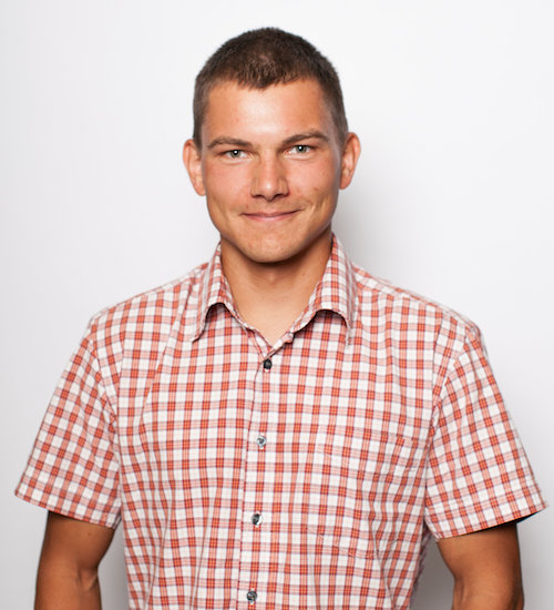
Joachim Meyer
I wish I would have known about Geohackweek before this past event. The amount of new knowledge is rarely gained in any other setup. Throughout the whole week we were given an in-depth introduction to various geospatial tools and concepts, while also having a chance to apply that newly-gained knowledge right away. Geohackweek had the right balance between newly taught skills and being able to manifest them with hands-on experience. I personally would have not been able to be achieve a similar learning experience on my own time.
The collaboration between organizers, experts in the field, and participants was very open and everybody shared as much expertise as they could. The environment encouraged asking questions and the pace was adjusted so everyone could build upon the fundamental concepts explained to deepen their knowledge within desired areas.
All software that is taught is freely available through the open-source science community, enabling everybody to use them independent of their current college or company affiliation. This enriches one’s personal profile and ensures the ability to apply them wherever a career path will go.
I hope to someday be able to contribute back to the open-source community, by either improving the available tools or educating more people of the existence so the community will grow. Participating in Geohackweek was my first essential step towards that.
————
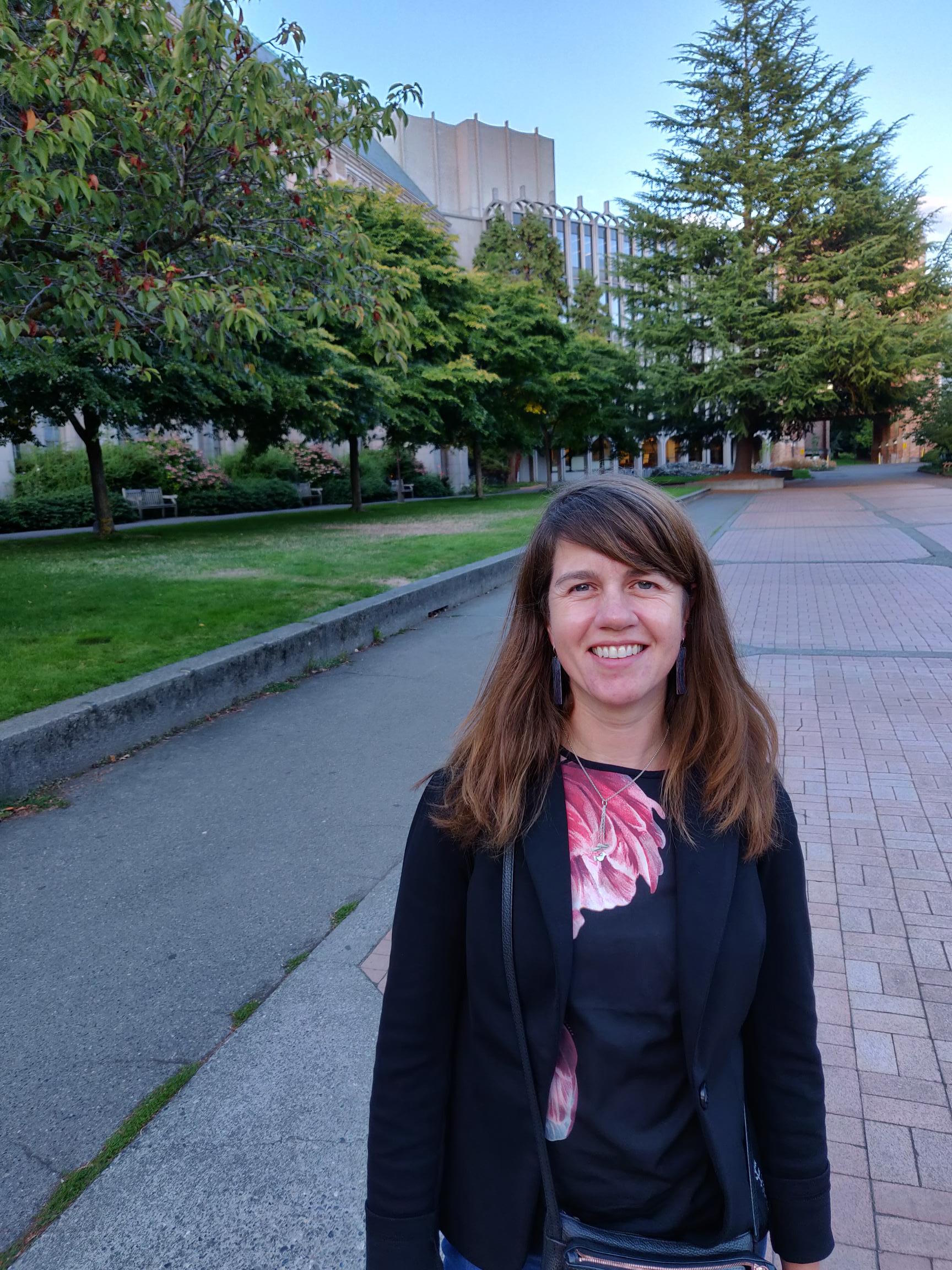
Lucie Burgess
A ‘hack week’ is a collaborative method of skills development where participants learn in inter-disciplinary teams through a mixture of tutorials, lectures, practicals and participant-led project work. I stumbled across Geohackweek in a search for spatial data resources online, applied and was quietly thrilled to be accepted. Geohackweek 2018 involved hands-on specialist training in geospatial data science in the Python programming language, hosted by the University of Washington e-Science Institute, Seattle.
I am a PhD researcher from King’s College London funded by the UK Medical Research Council, working on a project called Urban Mind which investigates the relationship between mental health, with a focus on psychosis, and the built and social urban environment. Most of the Geohackweek participants hailed from diverse backgrounds in environmental science, geography and ecology, researching land-use change, snow cover, forestry, population dynamics, hydrology or other topics, so an urban health researcher might feel out of place. But geospatial data unites, and they were such a friendly, involving, welcoming bunch that I immediately felt like one of the group. As well as university researchers and PhD students, participants were software developers and innovators in private companies and consultancies, so there was room for all shapes and sizes.
What an awesome, engaging, inspiring week! The schedule was intense, but that’s part of the fun, with experienced instructors on hand to suggest intriguing solutions to boundary problems (there’s a bilinear interpolation for that!) and hackers on-hand to solve those thorny Github ‘where’s-my-code-gone’ nightmares (there’s a forced push for that). The mornings involved broad, deep and fast tutorials, with decent breaks to network and develop ideas. Lunch was sociable, in the Rotunda Cafe. The afternoons saw collaborative project work, code sprints and problem-solving sessions, intense discussions, time to think, explore and practice what we had learned. The evenings involved a poster session, a fascinating talk by Professor Matt Hansen from the School of Forestry and an impromptu social trip to the Fremont Brewery. It was unashamedly geeky, but kind.
The Urbanopia team used satellite images from the US Landsat 8 survey with Urban Mind data to calculate the correlation between the normalized difference vegetation index (a measure of ‘greenness’ of the earth) and the difference in the participant’s mental state between observations, which demonstrated a small but statistically significant correlation. We also experimented with the nodes, ways and relations of crowd-sourced OpenStreetMap data. I plan to further develop these proof-of-concept techniques in my own research.
All of this took place in a beautiful, leafy campus in a world-class university with state-of-the-art technology and facilities. Geohackweek was a stimulating multi-disciplinary environment in which to learn, be inspired and exchange ideas with like-minded researchers. Thanks to all the instructors and participants for a very special experience.