By Anthony Arendt, Geohackweek Co-Organizer
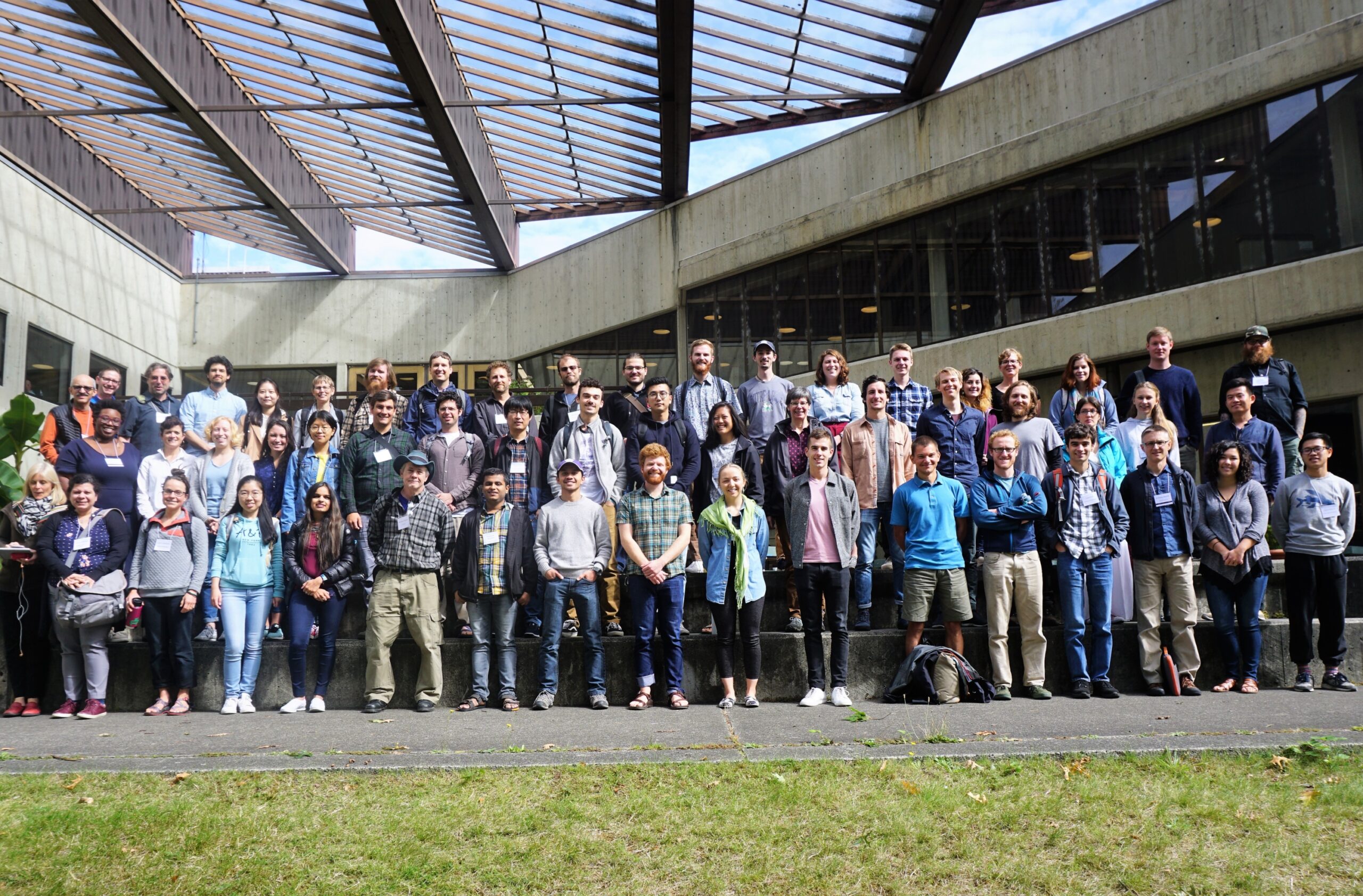
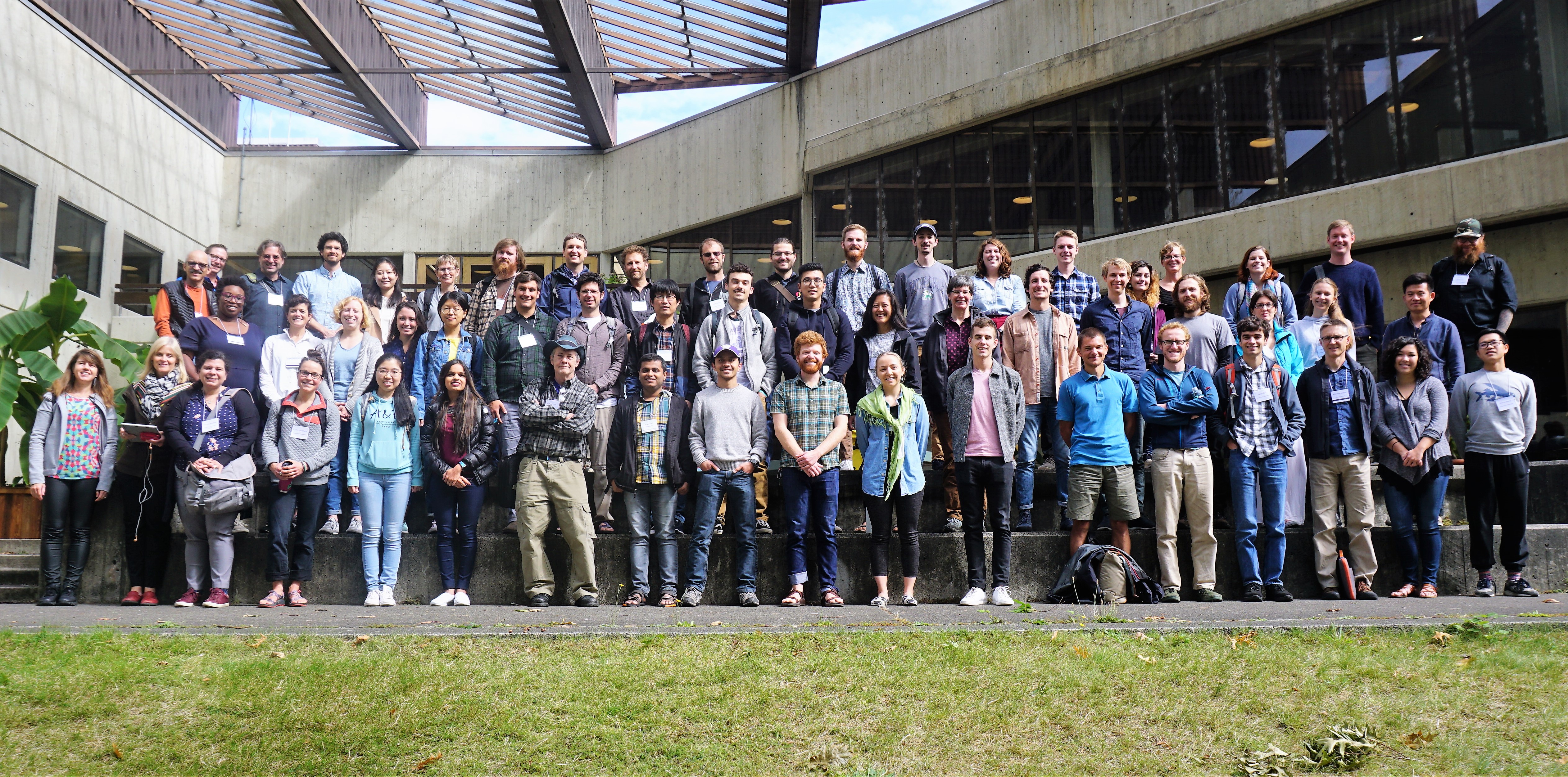
The University of Washington’s eScience Institute hosted its third annual Geohackweek September 10 – 14, 2018. A diverse mix of over 50 participants joined us from industry, academia, government and non-profit organizations to advance our understanding of open source software tools for geoscientific research. The event was designed around the hackweek model which aims to foster community building, peer learning and the exploration of new data science tools in a collaborative and welcoming learning environment. This form of active learning has been previously explored in both Astro Hack Week and Neurohackademy and grew out of the tri-campus Moore Sloan Data Science Environments.
Each morning participants engaged in hands-on tutorials designed to provide broad overviews of fundamental data science and geospatial analysis tools. We learned about programming, version control, cloud computing, data visualization, vector and raster data analysis, and Google Earth Engine. This year we expanded our curriculum to include a session on machine learning and the demonstration of best practices in developing our own software packages. An open tutorial session at the end of the week provided an opportunity for participants to share their expertise on topics not covered by our tutorials. All of the tutorials from Geohackweek were recorded and are openly available on the eScience YouTube channel.
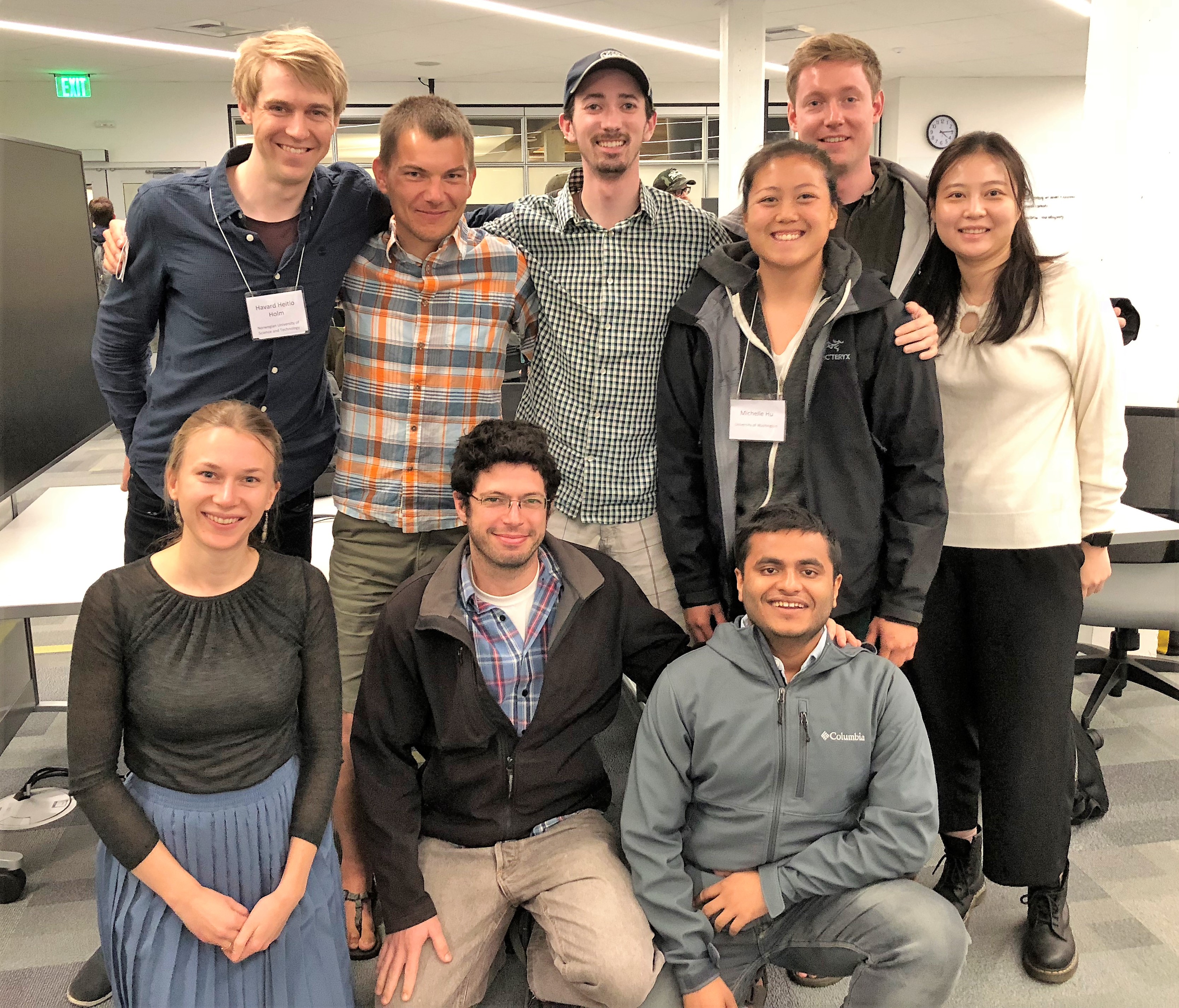
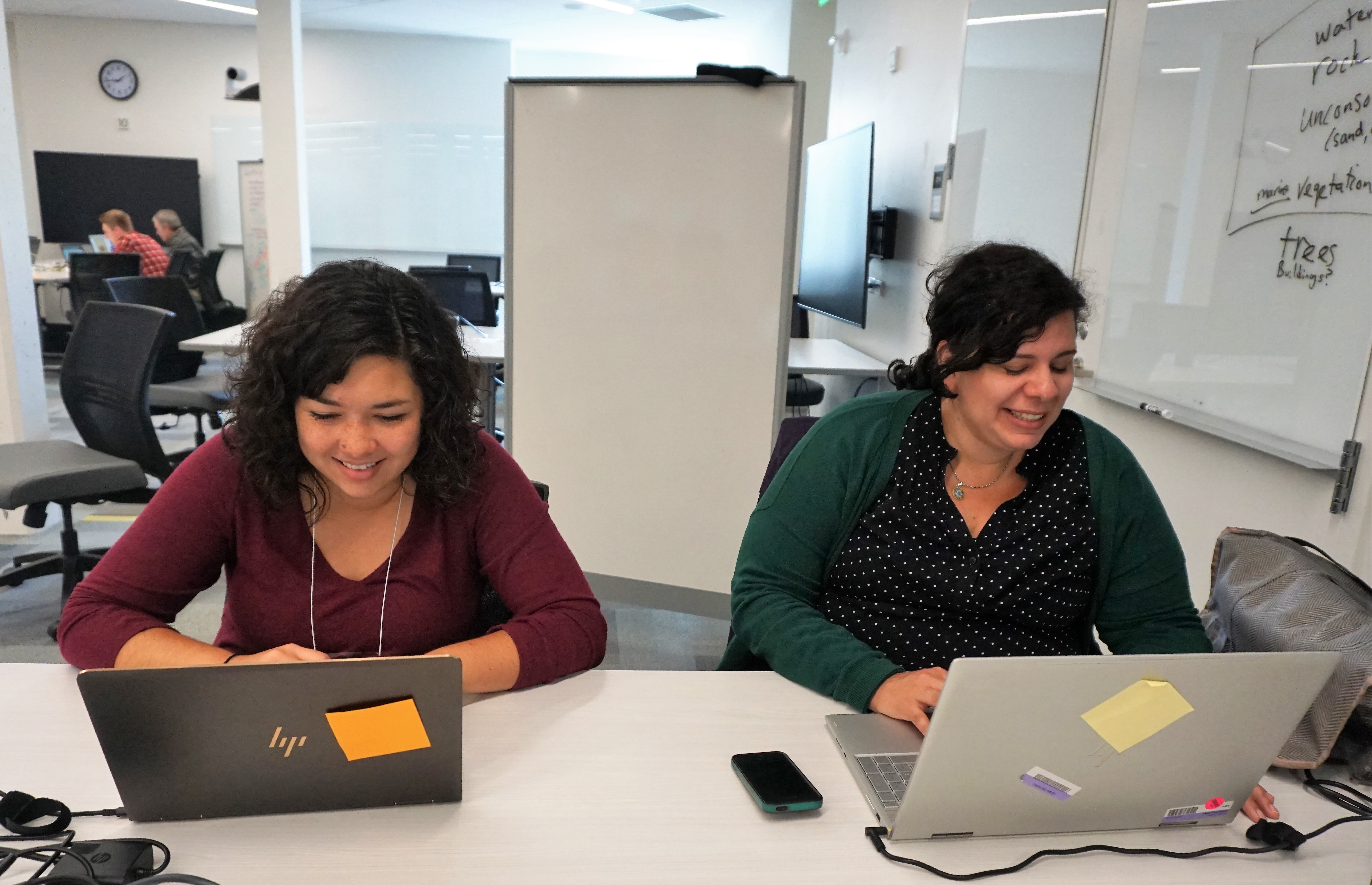
Our afternoon sessions were designed to accommodate open project work, giving people an opportunity to “hack” on topics they learned during the tutorials. This year we had 9 different projects spanning a wide range of topics, from the assessment of spatial patterns in mental health in urban settings, to the mapping of changes in snowpack and glaciers in response to climate variations, to the design of online curriculum to foster geospatial education.
Throughout the week we had a variety of opportunities to connect, network and learn about each other’s work. On Tuesday the UW School of Environmental and Forest Sciences invited us to their monthly happy hour event, which was followed by a seminar by Dr. Matthew Hansen. Dr. Hansen explained the potential for harnessing big data tools in assessing global patterns in forest health, while emphasizing the need for domain knowledge so that we can make informed decisions about the application of data science tools. On Wednesday afternoon we invited three guest speakers to participate in a panel discussion about career pathways in geospatial sciences. Andrew Pawlowski, a senior software engineer at Element84, Benjamin Hudson, an applied scientist working at Zillow, and Sarah Battersby, a research scientist at Tableau, told us their unique stories of how they have navigated careers as data scientists, and answered questions from participants.
Geohackweek is funded through support from the eScience Institute and numerous partners on the University of Washington campus including the Applied Physics Laboratory, the Department of Applied Mathematics, the School of Environmental and Forest Sciences, and UW Information Technology.
We are excited to announce that a new Hackweek focused on water-related data sets will be coming to the University of Washington March 25 – 29, 2019. Stay tuned for more details!