
October 15, 2019
The University of Washington’s eScience Institute hosted its fourth annual Geohackweek on September 9-13, 2019. A diverse mix of 45 participants joined us from industry, academia, government and non-profit organizations to advance our understanding of open source software tools for geoscientific research. The event was designed around the hackweek model which aims to foster community building, peer learning and the exploration of new data science tools in a collaborative and welcoming learning environment.
Each mor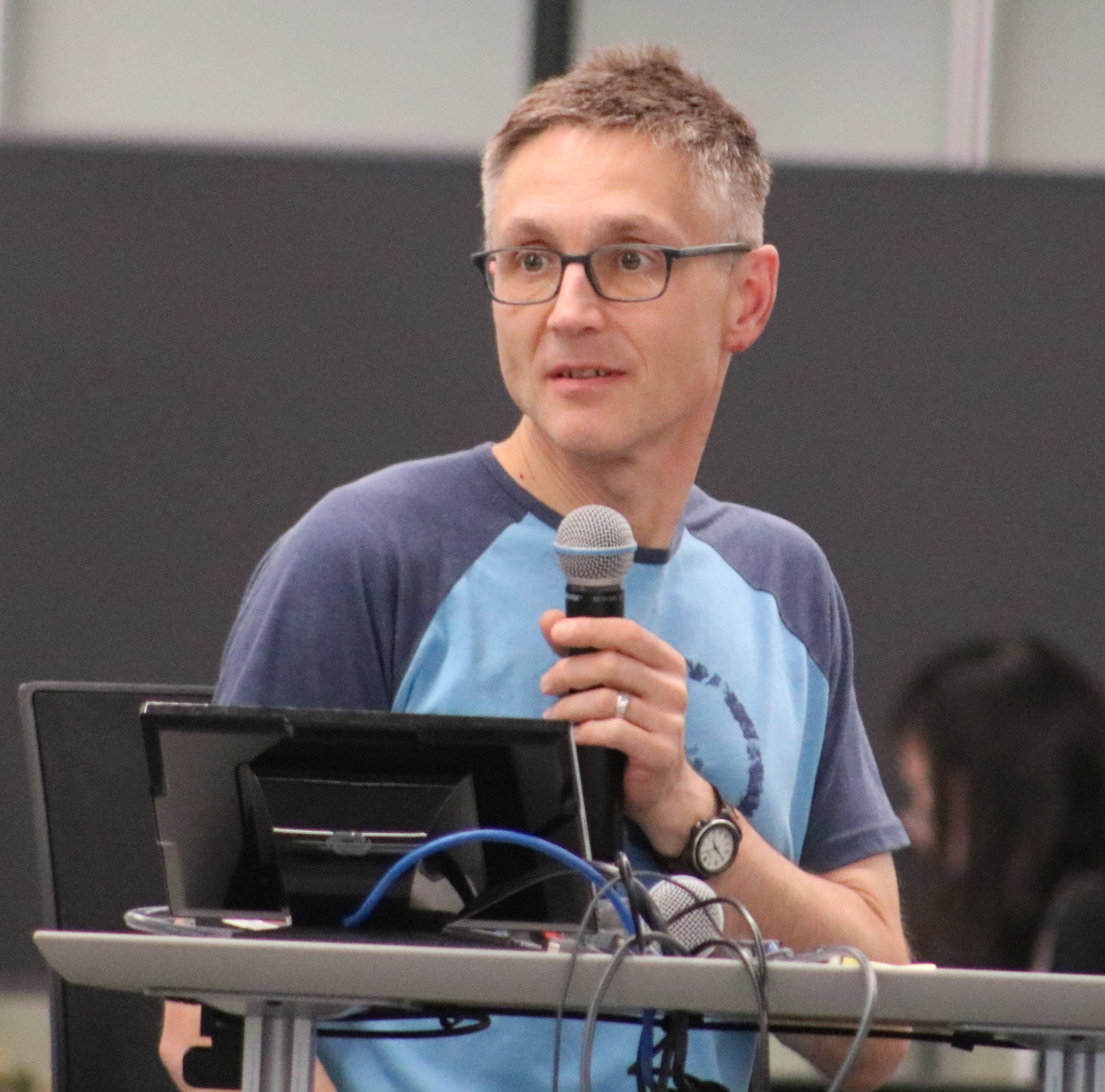 ning participants engaged in hands-on tutorials designed to provide broad overviews of fundamental data science and geospatial analysis tools. This year we built several of our tutorials around a theme of identifying features in remote sensing imagery to inform disaster relief. Participants started the week manually digitizing buildings in satellite imagery affected by a recent typhoon, guided by online tools in the Missing Maps Project. As the week progressed we gained additional knowledge in how to automatically identify these features using image classification and machine learning methods. All tutorials were rooted in concepts of open source software, version control and gaining practice in working with collaborative toolkits from Project Jupyter. all of the tutorials from Geohackweek were recorded and are openly available on the eScience YouTube channel.
Our afternoon sessions were designed to accommodate open project work, giving people an opportunity to “hack” on topics they learned during the tutorials. This year we had 8 different projects spanning a wide range of topics, from the assessment of socio-economic indicators based on night-time lights detected from space, to the mapping of changes in snowpack and glaciers in response to climate variations.
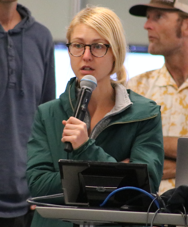
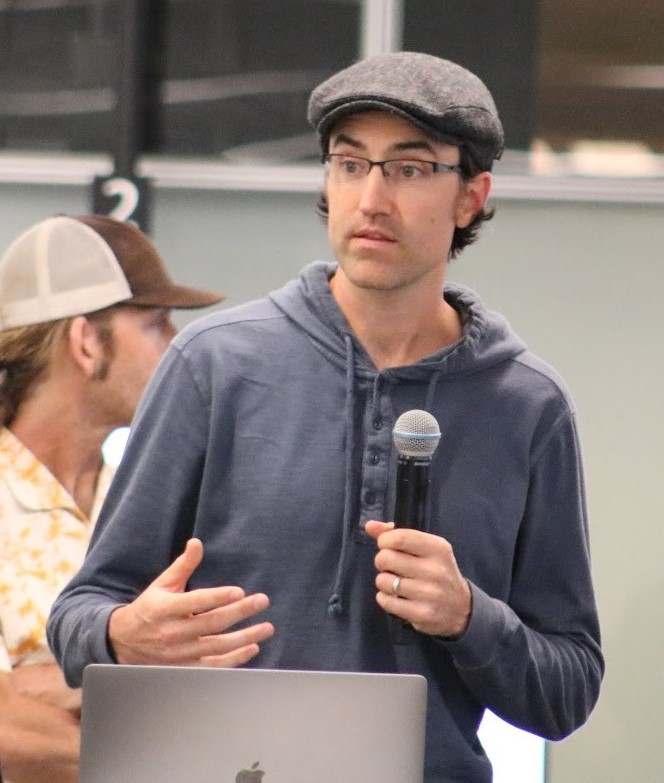
Throughout the week we had a variety of opportunities to connect, network and learn about each other’s work. On Tuesday we welcomed Dr. Michael Goodchild to share his knowledge about best practices in cartography and geospatial sciences. On Friday, participants shared their projects in a series of interactive presentations.
Geohackweek is funded through support from the eScience Institute and numerous partners on the University of Washington campus including the Applied Physics Laboratory and UW Information Technology as well as outside sponsors Climate Corporation and Gigantum.
Some participants from this year’s Geohackweek offered their perspectives on their experiences from the one-week hacking event. Here are their thoughts on this unique educational opportunity, in their own words.
Aimee Barciauskas
Geohackweek was rich with a diverse set of attendees, leaders, tutorials and project work that all applied to the work that we do at Development Seed, working with NASA partners to build platforms for open science and delivering Earth observation data. I got the opportunity to meet and work closely with others from across the country and globe who shared these interests and had related geoscience research applications. I feel very fortunate that eScience was willing to host us all and dedicate time and materials to spreading the word about tools we could start using today.
Lee Mackey
 Future solutions to Earth’s biggest challenges can’t be computed on your hard-drive and they won’t be ideated within the walls of our home department. These potential blockers are why Geohackweek, a geospatial data science collaboration at the University of Washington that I participated in recently as a learner and hacker, is so critical to building climate solutions at scale. The tutorial component enabled the technical conditions for success by providing the keys to targeted geospatial-specific cloud services, packages, and tooling that can accelerate the speed and throughput of open science. The project component nudged the social aspects of collaboration by putting a range of scientists – hydrologists, geo-physicists, geographers and seismologists – alongside geospatial machine learning engineers and business leaders. But aspirations of cross-disciplinary, cloud-native collaboration melt like spring snow in the Cascades without something extra. As a participant that works astride private sector data science and academic geography, on both social and environmental systems, I identify two key reasons that geohackweek was successful for my own goals.
First, the discovery of niche geospatial resources was made possible through actionable frameworks and jargon-free presentation. Look in any machine learning textbook, you won’t find xarray, dask, rasterio, gdal, and geopandas. Yet these packages that were presented in the tutorial sessions are the critical connective tools that allow scientists and researchers to integrate and produce insights from geospatial data. Second, presenters and participants facilitated trust, collaboration and discovery in ways that promote knowledge spillovers. While there are also benefits to specialization – see the previous ICESAT-focused hackweek – I appreciated the opportunity to glean and recombine knowledge from researchers in adjacent fields in an inclusive environment. The opportunity to participate in this event will have a direct impact on my integration of satellite data into my own data science and research workflows, and I’m encouraged by the spirit of the event to pass along what I’ve learned to my colleagues around me into the future.
Eric Morway 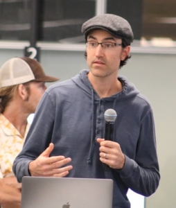
I was nervous entering Geohackweek. I was unsure if I had the foundation to keep up with all that would be taught. As expected, much was presented throughout the week, and nearly all of it was new to me. From the outset, it was clear that the instructors had spent a lot of time preparing clear, easy-to-follow python notebooks to both teach and demonstrate the material at hand. Perhaps the greatest benefit of the notebooks was (and is) that class participants (me in particular) can go back and review them at a more leisurely pace. The variety of topics covered, thoughtful demonstrations, and afternoon group-project breakout sessions intended to reinforce presented material were an insightful mix. I came away from Geohackweek thankful to have met a truly helpful set of instructors. I am equally thankful for all the great networking opportunities that came up throughout the week, particularly with the members of my team. It is my sincere hope to stay in touch with the members of the team I was a part of. As a hydrologist who has experienced Geohackweek, I’m very much interested in checking out Waterhackweek. Kudos to the eScience Institute and Geohackweek staff for such a well-planned and executed week of learning!
Siyu Yang
 Having worked with computer vision techniques in mostly standard dataset formats, the various tools for manipulating raster and vector data in geospatial applications were daunting and hard to get started with. Geohackweek was a wonderful educational experience for me. The tutorial contents were expertly prepared, and I’ve even learnt about new ways to use familiar tools such as Jupyter Notebooks (the debug magic was revelatory). I’ve walked away with amazing resources that will keep me busy for many weeks and will serve as excellent references in the coming year. Importantly, the hackathon projects brought the concepts of open science and community-maintained open-source tools to life, and I now feel empowered to contribute what I know about cloud computing and machine learning back to these projects.