Partners: David Schmidt and John DeSanto
SSEC Engineers: Don Setiawan and Madhav Kashyap
Research Goals and Domain
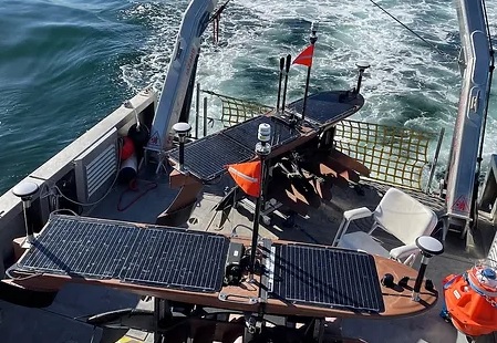
The Near-Trench Community Geodetic Experiment, is a five-year NSF-funded project aimed at establishing open and accessible seafloor deformation data in the Alaska and Cascadia regions, both notorious for witnessing some of the largest earthquakes and tsunamis in recorded history. By utilizing the nascent Seafloor Geodetic Instrument Pool, the project supports several geodetic sites on the seafloor capable of observing long-term horizontal and short-term vertical deformations in subduction tectonic environments. Previous understanding was limited to current land-based tools.
Software Problem
Current data processing software for analyzing data from these instrument pools was maintained for 25 years by a singular, now retired scientist, and written in FORTRAN 77. It is hard to understand, use, maintain, and extend. The priority of this project was to develop an open-source Python package for the research community that made the data and its processing more accessible to a new generation of earth scientists.
Software Solution
SSEC worked with UW’s Department of Earth and Space Sciences to develop GNATSS, a modular Python library which can run data pre-processing and processing pipelines with code ported from the FORTRAN 77. The project also established a community data standard. This transition ensures sustainability, reusability, and the extensibility of both software and workflows, benefiting the broader seafloor geodesy community.
Impact
The core codebase is significantly sped up compared to the Fortran version, increasing productivity by 30% with Numba, a runtime compiler. U.S. and Canadian teams are also expanding the framework, supported by extensive new documentation.

