Project Lead: Catherine Kuhn, School of Environmental and Forest Sciences
eScience Liaisons: Amanda Tan and Rob Fatland
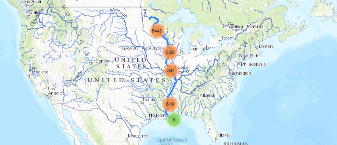
Rivers, lakes and streams are considered sentinels of environmental change. Deforestation, urbanization, and nutrient runoff are increasingly recognized as drivers of change for freshwaters, yet most research analyzing the impact of these forcings occurs at the watershed scale. While smaller scale studies provide valuable insight into physical processes, few studies describe the vulnerability of inland water quality (WQ) to climate change and anthropogenic activities at larger scales. This type of synthesis knowledge is crucial for informing policy-making, water resources management and conservation, yet is lacking at a national scale. However, advances in cloud-based data analytics has created a new research landscape making possible the rapid analysis of public datasets to monitor changes in surface waters at large spatial and temporal scales.
This project seeks to create a national tool for relating changes in water quality signals to land use and precipitation change, representing a significant step forward for understanding the impact of human activities and climate change on US surface waters. In our data synthesis and visualization system, large datasets will be queried to create simple geovisualizations of historic WQ changes and to establish foundations for distilling broad national patterns related to satellite remote sensing. We hypothesize regions with rapid land use change will also experience shifts in WQ signals.
