A cover story in the Seattle Times highlights the positive impact University of Washington and Seattle are having in solving growing traffic problems in the Puget Sound region. The feature focuses on the numerous apps now available to help with one’s commute, along with the large amount of public and private data driving them — including OneBusAway, probably the region’s most popular commute app and an idea that began as a research project in UW CSE by then-PhD student Brian Ferris, now at Google.

Even with a treasure trove of data, it’s an imperfect game analyzing traffic and drive times, unforeseen disruptions, and when the bus you’re waiting for will definitively arrive. And for those with mobility issues, it’s an even more arduous task to plan a route that might involve construction sites, closed sidewalks, and other imperfect or missing data.
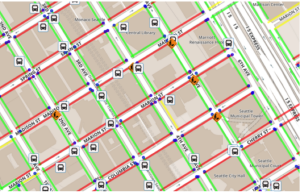
Enter Access Map, a project of the Taskar Center for Accessible Technology highlighted in the article. Access Map began at the Hack the Commute event hosted earlier this year at CSE, and was further developed this summer as an eScience Data Science for Social Good project. Led by Nick Bolten and Anat Caspi, alongside a cohort of DSSG Fellows, ALVA students, and eScience data scientists, it’s an app “designed to give people in wheelchairs or with mobility issues route information that factors elevation, construction, curb cuts and other accessibility data.”
With support from the eScience Institute, Nick is in D.C. this week speaking about Access Map at the Socrata Customer Summit, where eScience Associate Director Bill Howe also appeared on a panel about gleaning insights from civic data.
The University of Washington eScience Institute, along with Urban@UW, continue to make investments in civic technology and urban data science, and it’s wonderful to see the Times give such prominence to the work UW is doing, those behind it, and the positive impact it’s having on the community.
You can read the full Seattle Times article here:
