
By Anthony Arendt, data scientist and Geohackweek organizer
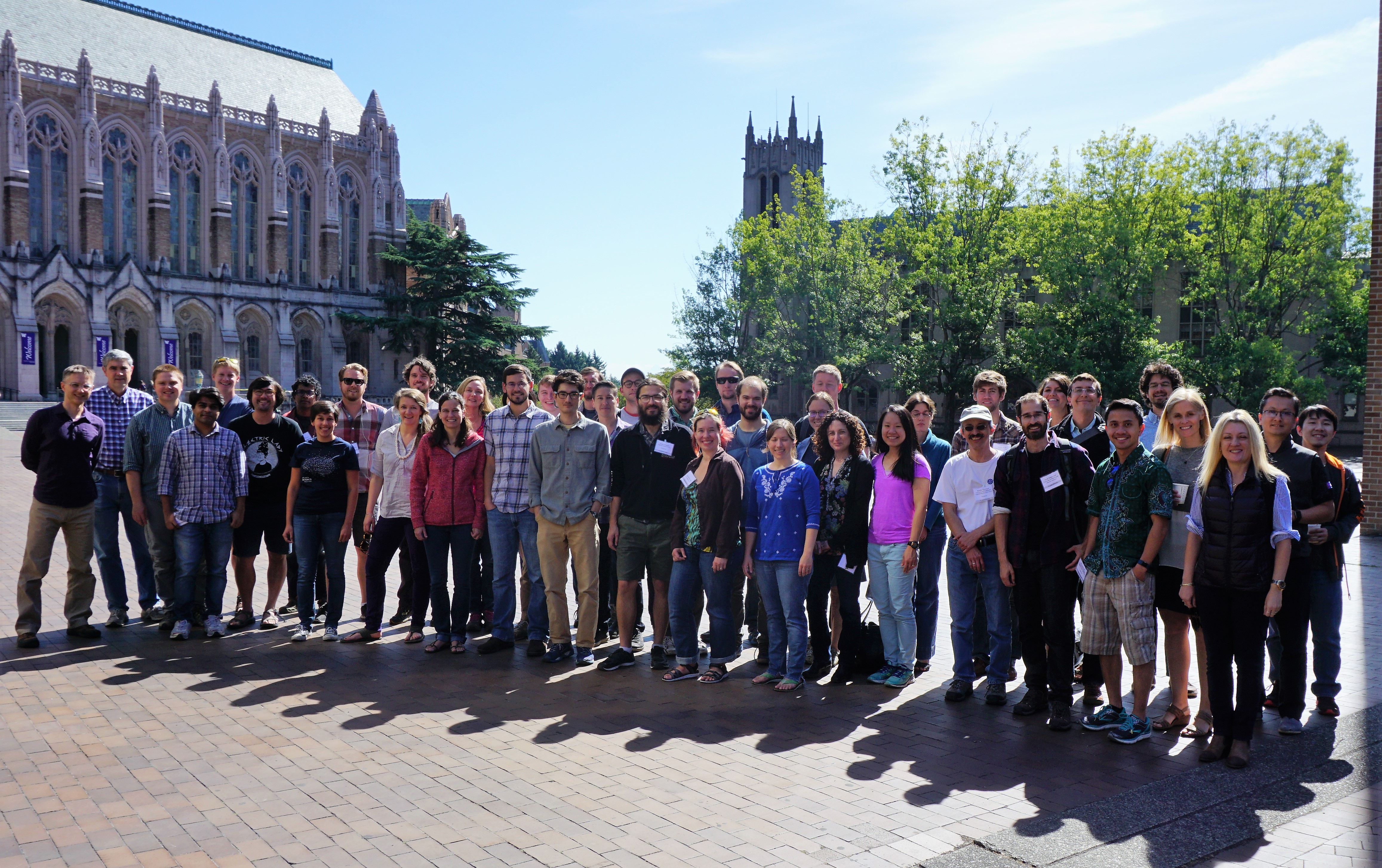
The University of Washington’s eScience Institute hosted the second annual Geohackweek Sept. 11 – 15, 2017. Inspired by AstroHackWeek and Neurohackweek, the conference combined tutorials with group work (“hacks”) on computational projects in geospatial sciences.
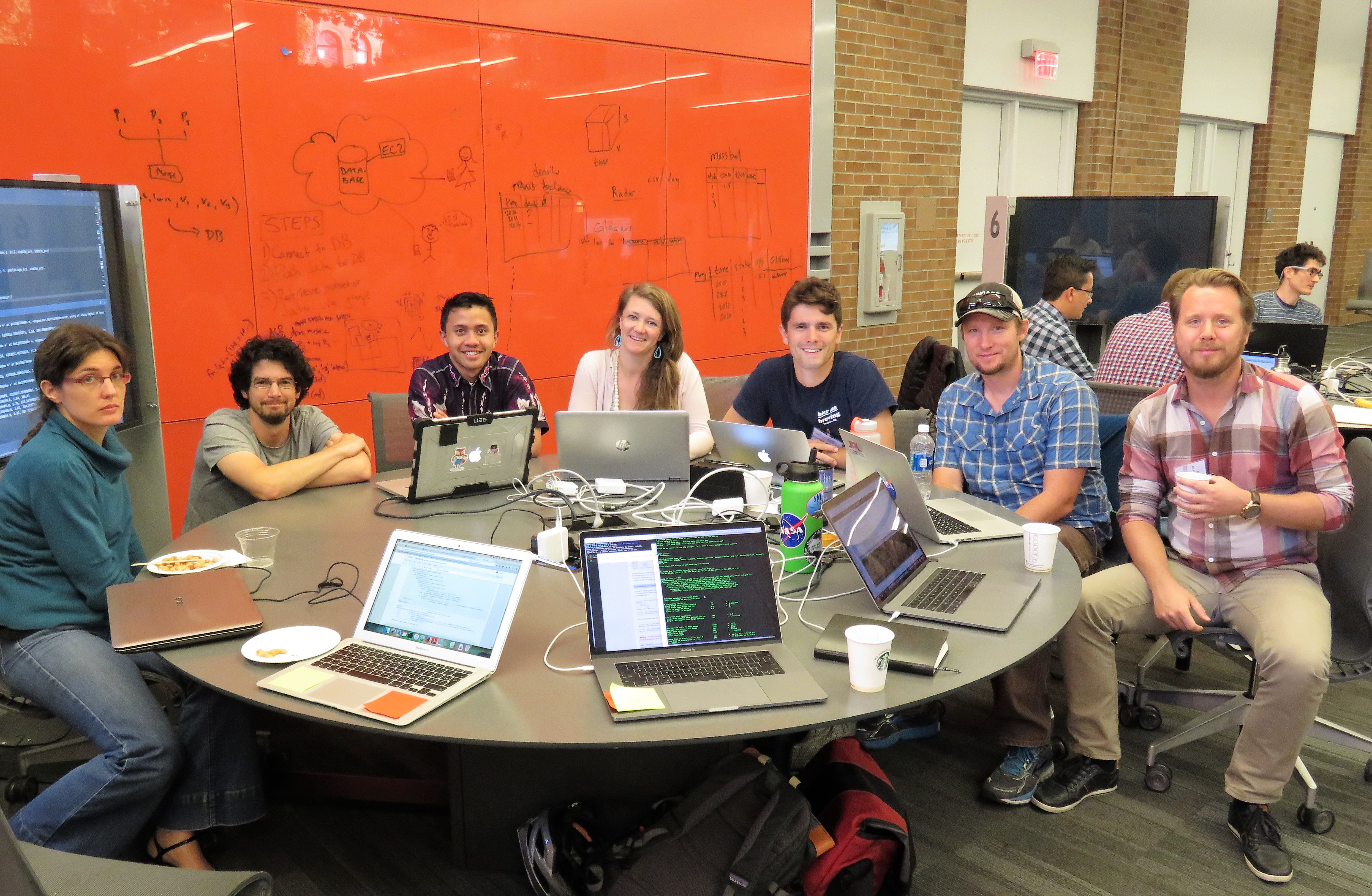
With the help of over 20 instructors, the event offered tutorials in open-source vector and raster processing, multidimensional array analysis, data visualization, Google Earth Engine and cloud computing technologies. It also emphasized collaboration and reproducibility through tutorials on Git/GitHub, Anaconda and Jupyter notebooks. During the week, about 45 participants designed projects that explored software to address global climate change, ecosystem management, visualization of complex datasets, and other geospatial science challenges.
The event was organized, supported and taught by staff, faculty and students spanning multiple University of Washington institutions including the eScience Institute, Applied Physics Lab, School of Oceanography, School of Environmental and Forest Sciences, Civil and Environmental Engineering, Applied Mathematics, Department of Biology and UW Information Technology. External organizers included guests from Oregon State University, Michigan State University, the Natural Capital Project, Tableau, Google and Amazon Web Services.
This year’s hackweek provided opportunities for participants to network with industry partners via a panel discussion. We learned about some of the unique educational and career pathways that brought individuals from Amazon Web Services, Natural Capital Project, Tableau and Planet to their current positions. The panel provided insights on emerging trends in geospatial technologies and enlightened participants about geospatial tools outside of an academic setting.
Material from the event include links to online tutorial content, ongoing project work and a video playlist on YouTube.